
Highway or scenic route? What path will the next earthquake take?
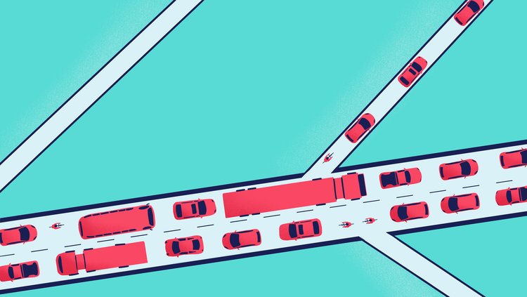
It’s a hot, sunny public holiday. You and your whanau can’t wait to get to the beach, but everyone else has the same idea. The highway is full of holiday traffic, so taking it today will add hours to your journey. Instead, you take the scenic backroads. Winding through the hills, you beat the traffic and arrive just in time to get a parking spot in the shade.
Aotearoa New Zealand is criss-crossed with roads. Every day, millions of people move across the landscape on our road network, using state highways, urban streets, rural routes, backroads, and farm tracks. And we all know more than one way to get to our favourite destinations.
Far beneath our feet, two enormous tectonic plates are moving past each other on another network, a network of faults. The Australian and Pacific plate boundary runs through New Zealand. These two tectonic plates are in constant motion, and that movement happens on faults. Faults are pre-existing cracks in rocks. When pushed enough, a fault says, "Ok, I’ll move." Networks of faults work like road networks, distributing the motion of the plates (instead of vehicles).
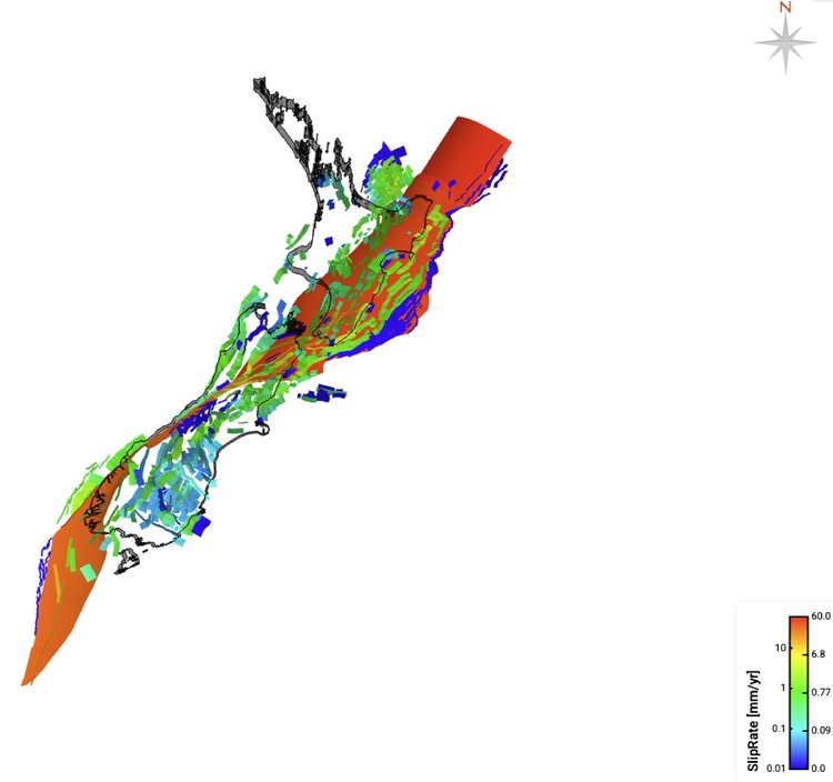
Our fault network allows two tectonic plates to travel past each other. Most of the plate boundary motion happens on relatively straight ‘highway’ faults, like the Hikurangi Subduction Zone and Alpine Fault. But plate movement also happens on smaller faults, which are similar to suburban streets and gravel backroads. These ‘backroad’ faults handle overflow from the ‘highway’ faults, accommodating movement that the big faults can’t.
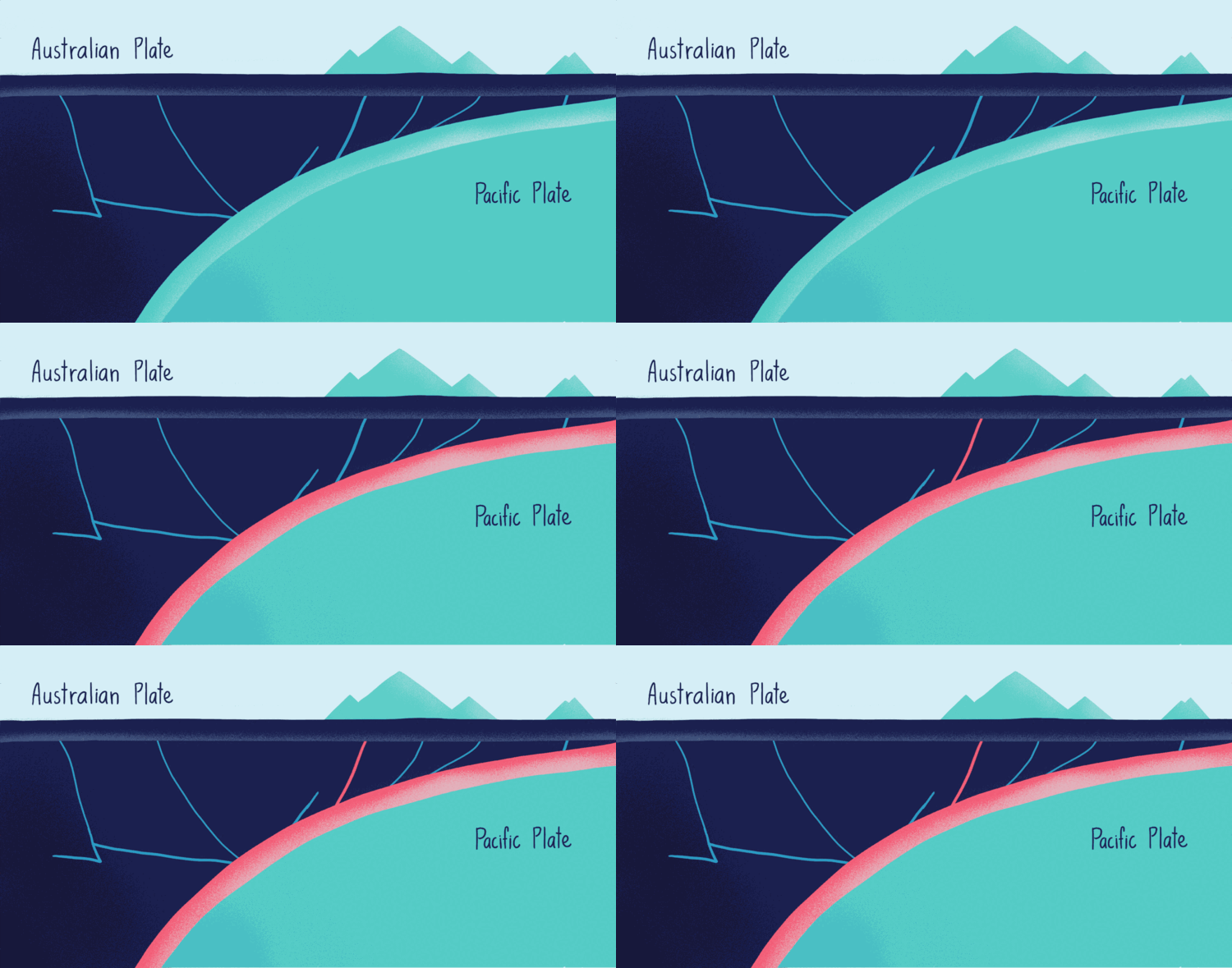
When movement on faults doesn’t happen smoothly, and they get jammed, stresses build up and eventually cause a major earthquake. Much like traffic flows from one road to another, stress flows from one fault to another. This transfer of stress in the fault network determines how large and how destructive an earthquake or earthquake sequence becomes.
When a ‘highway’ fault gets blocked, an earthquake might take a ‘backroad’ fault that looks quiet and unimportant. We saw that in the 2016 Kaikōura earthquake, when the rupture cascaded across more than twenty faults, much to the surprise of earthquake experts! The better we understand the fault network, the better we can anticipate where earthquakes will happen, how big they might get, how the shaking will feel, and what the impacts will be.
Our fault network has been built over millions of years. Most of the time, we are unaware of the events taking place on this hidden infrastructure. The problem is that we’ve built homes, schools, businesses, and motorways on top of our fault network. We want to know the risks associated with future earthquakes, so we need to understand the fault network by mapping where the faults are, how they connect, what they are made of, how much they move, and the force required to make them move.
In Ngā Ngaru Wakapuke, I work with other researchers to map fault networks, characterising the length, connections, geometry, and strength of the faults. This research allows us to understand not just individual faults in isolation, but the system as a whole.
We are particularly interested in the transition zone between the Hikurangi Subduction Zone and Alpine Fault, an area that includes the northern South Island, Cook Strait, and southern North Island. The Kaikōura earthquake increased the stress on some faults in this zone. That’s why we want to make a better map of the road ahead, one that allows us to anticipate future transition zone earthquakes and earthquake sequences.
Dr Carolyn Boulton is a Senior Lecturer at Te Herenga Waka Victoria University of Wellington. She is a structural geologist whose research focuses on how rocks and faults accommodate plate boundary deformation.
Hanna Breurkes is a design researcher and science communicator in RA1 The Future who works at Toi Āria, Design for Public Good at Massey University. She seeks to use design to encourage curiosity and care between people and environments.